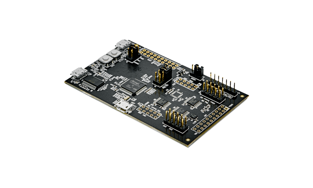
The DK-42351 is a comprehensive development platform for IIM-42351, a 3-axis SmartIndustrial™ MotionTracking device that supports robust and accurate inertial and inclination measurements.
The platform, designed around Microchip G55 MCU can be used by developers for rapid evaluation and development of IIM-42351 based solutions. The DK-42351 includes an on-board Embedded Debugger so external tools are not required to program or debug the G55 MCU.
The development kit comes with necessary software including InvenSense Motion Link, a GUI based development tool and embedded Motion Drivers for IIM-42351.
Embedded Motion Drivers (eMD) consists of a set of APIs to configure various aspects of the platform including IIM-42652 sensor parameters such as full-scale range (FSR), output data rate (ODR), low-power or low-noise mode, and sensor interface to host (I3CSM, I2C, SPI).
MotionLink is a GUI based development tool included with the platform. It can be used to capture and visualize the sensor data from the motion sensor.
Product | Type | Package Size (mm) | Gyro Sensing Range (º/sec) | Accel Sensing Range (g) | Interface | Comments | Purchase | Starting Date |
---|---|---|---|---|---|---|---|---|
![]() IIM-42351 | 3-Axis Accelerometer | 2.5 × 3 × 0.91 14-pin LGA | N/A | 16 | I3C℠ / I²C / SPI | Low noise accelerometer for tilt sensing | Dec. 2020 | |
![]() DK-42351 | The DK-42351 is a comprehensive evaluation platform for IIM-42351. It enables quick development and evaluation of the IIM-42351 with the eMD software package. |
Precision Agriculture | Construction Equipment | HD Mapping, surveying, and Georeferencing | Industrial, Warehouse, and Automobile Robotics |
![]() | ![]() | ![]() | ![]() |
Bridge GNSS outage and provide terrain compensation inputs during normal operation in various agricultural environments, particularly for equipment navigation, guidance, and positioning.
| Maintain blade and bucket position on bulldozers, excavators, motor-graders, etc. during normal operation. Additionally, the IMU data is coupled with GNSS to constrain position and bridge GNSS outage.
| Precision data enabling the creation of HD maps and surveys, but also provide exact position for stabilization and location.
| Industrial robots use motion data to enable automation, improve efficiency and monitor conditions, as well as the precise motion and vibration measurements produced.
|